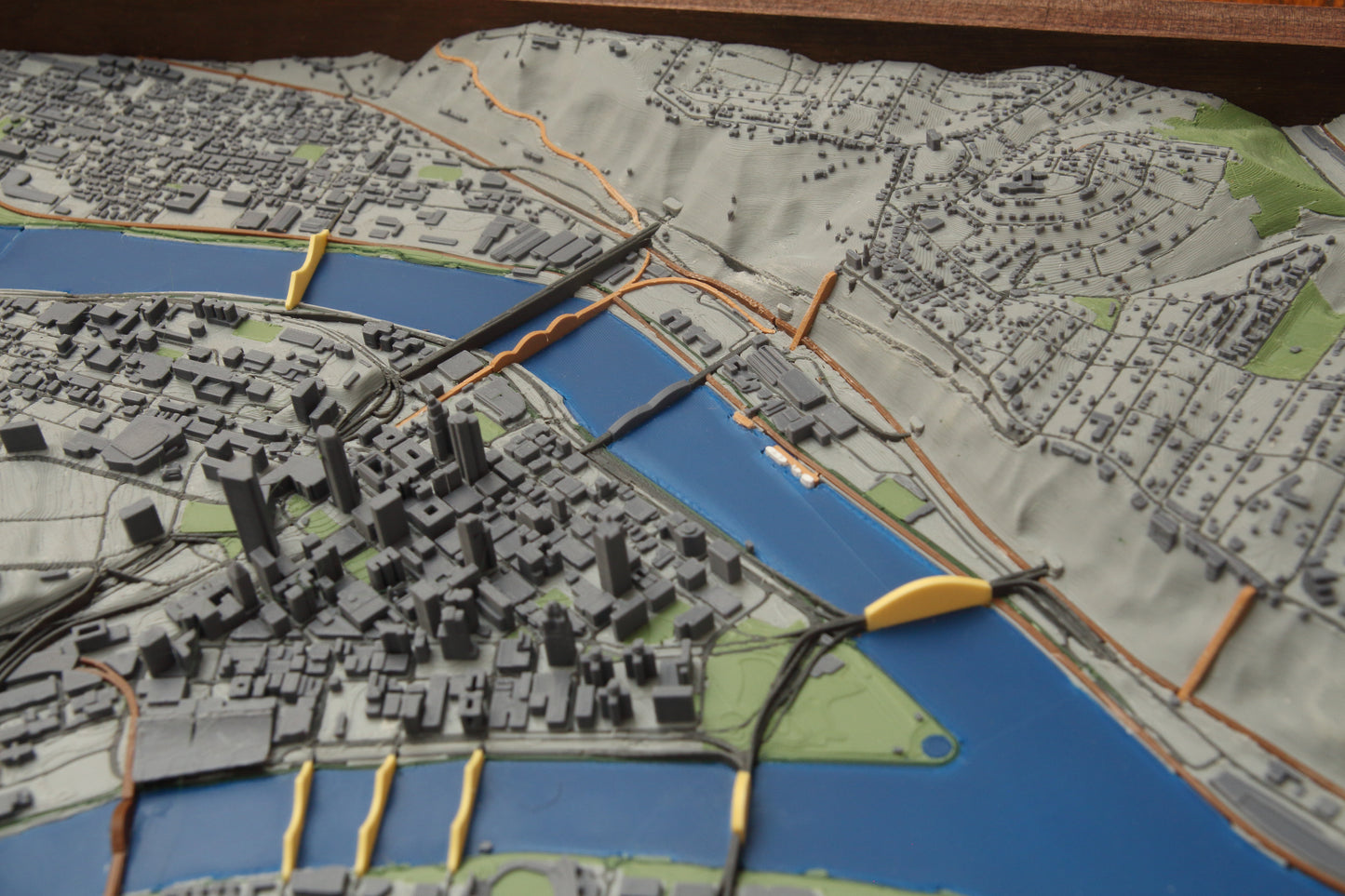
3D Print of Pittsburgh including the all main roads, highways, rail, walking, trails, lakes, rivers and over 16,000 buildings. This is a very detailed map that includes downtown, Mount Washington, Oakland, Schenley Park, North Shore, Southside. All main roads are included, most landmark buildings are solid modeled for the right detail level to be printed.
Print is framed in local black walnut, 14.5" x 27.5" framed print is 13" x 26"
Reach out if you want a custom version or this design in a another size. Discount for local pick-up, message before ordering if you are local.
This is made to order so allow 2-4 weeks to print, post process and frame.