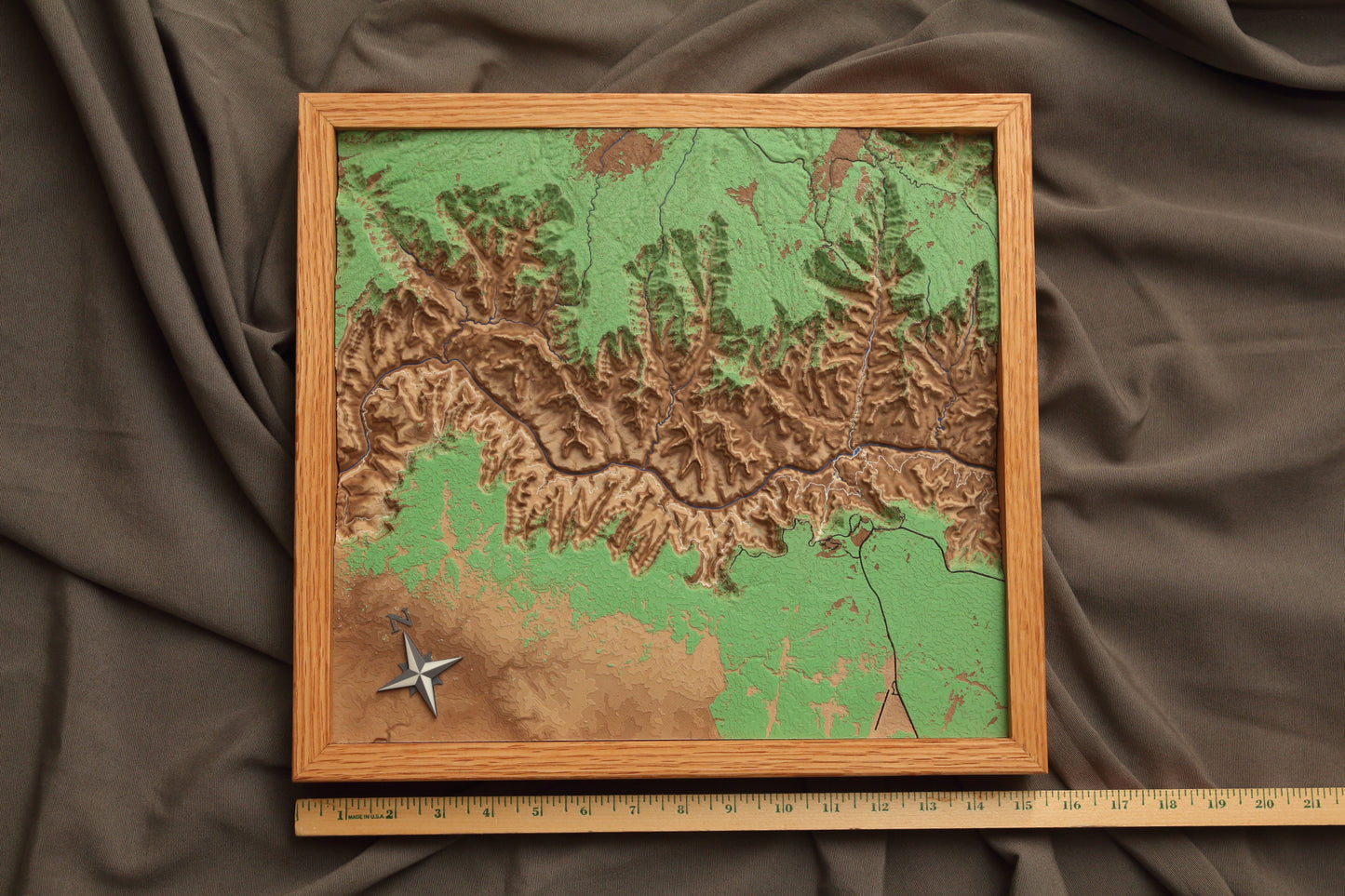
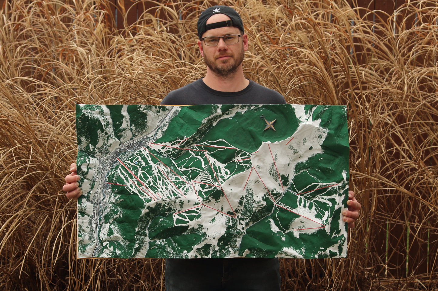
Each map is custom-designed and built to your specifications. Check out the photos for examples of my previous work. I have a unique process to include inset features in the print that is not really available anywhere else. These maps can be extremely detailed, even at a large scale. This can be designed for a specific hike, or your favorite natural areas, ski resorts, parks, farm, family land or development planning.
I have done commissions larger than 3 x 2 feet, so reach out if you are looking for anything larger. For larger sizes you can use the link below to select a map area and provide some basic information, if you fill it out I will get back to you with any questions:
https://rb3d-custom.netlify.app/. Or just email riverbend3dprinting@gmail.com.
Features:
This can include multiple inset features either from current map databases, or new features. This will be printed with a 100-150 micron layer, providing a very smooth finish. Layer lines will not be visible from more than a few feet away.
Reach out for any questions, I can make a custom listing for whatever size or shape you are looking for.
In general we will have to discuss the area you interested in (screenshot of the map area is a good way to start), specific features to include and color preferences. Mapped features can be anything shown on google maps / open street map or features you define as long as they visible on sat maps or you can accurately specify them. I can also pull in GPS (.gpx) data and add inlay text (see gallery).
Maps can be framed in a shadow box, or designed with no external frame for flush mount wall hanging. Price includes frame and shipping.