This is a detailed 3D Map of the Iceland showing a mid-spring level snow cover. This includes the ring road plus most other main roads and cities. and many lakes streams and islands. I have many hours invested in this layout and getting the details right. Places like Jökulsárlón and Kirkjufell are clearly visible.
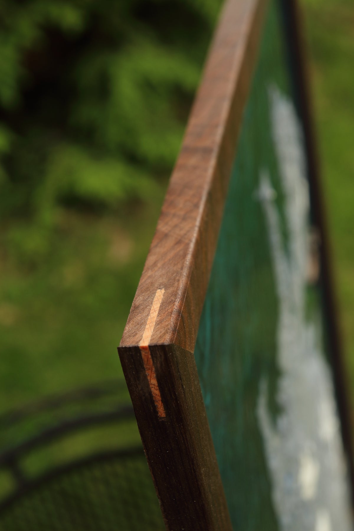
The frame is 32" x 24", the land mass itself is 26" across, east-west. Framed with local Walnut.
This land is 3D printed and he ocean is a resin pour. The model is generated using my own software code and production process, you won't find models like this with the inset features anywhere else.
Let me know if you are interested in a different sized or customized version of this design. I have also made some layouts with different levels of snow cover.
*** This is a custom order so allow 3-5 weeks for production. Any minor custom requests can be accommodated just reach out via email.